Mam Tor Trails
Written by close friend of Evolution Trail Anna Parsons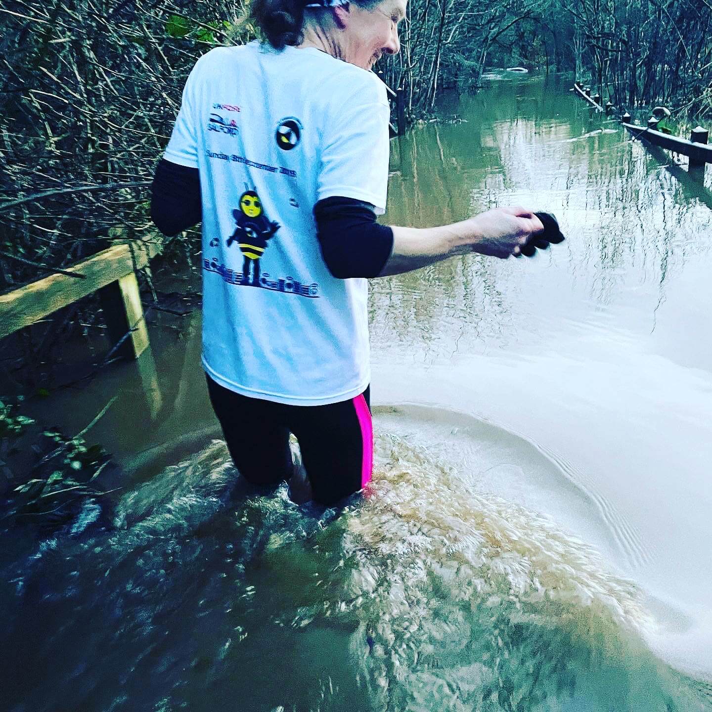
Up at six, map marked up, ready to go. I'd checked the weather hundreds of times, it was changing hour by hour, finally settling on mist / fog on the tops which wasn't what I wanted to see. I decided to go for it anyway and set off to arrive at Hayfield at 8am.
I started from Bowden Bridge car park (£4.70 all day) near Kinder reservoir. I was aiming to ascend via Oaken Clough and arrive at a crossing of paths - left to Kinder Low, right to Brown knoll and straight ahead to Jacobs Ladder and Edale. I went slightly off track at the start, distracted by the beautiful sunrise, so was very relieved to see the sign for Kinder Low End and arrive in the Clough. It was tough going over the rocks, and up hill, so a fair bit of walking went on.
My original plan was to run around the top of the ridge and admire the views across the valley; but finding myself in the clouds and losing my nerve a little, I descended Jacob's ladder, and took the Pennine Way to Edale. After picking up speed on a well paved and popular route, I had to smile at the choice between Manchester, Sheffield and cake - no contest - and stopped for a delicious flapjack and coffee at the delightful Penny Pot cafe next to Edale station (sitting on the cold pavement rather than in the warm, as I'd imagined, due to Covid-19 restrictions). Ten kilometers covered in just over an hour - a great start to the day and my confidence increased as visibility was good in the valley and I could see the ridge I was aiming for above Edale.
The next stage was to ascend up to Mam Tor (517m) via Hollins Cross. The path was obvious, but having enjoyed a wooden walkway for a time, I found myself narrowly missing a face plant in a pool of mud - a trial run wouldn't be the same without mud. The views did not disappoint, despite some cloud, which provided drama in the sky. I tried to make myself keep running along the slabs, all the way to the Mam Tor summit; but had to walk a few sections - seeing the trig point spurred me on for a final effort.
A drop in temperature prevented lingering too long on Mam Tor and I continued my journey. Down steps, across the road and up onto the next section of ridge. I passed Lord's Seat, a circular grass depression on the ridge, and continued along an obvious path, keeping a close eye out for a turning to the right. This took me across an open moorland, the Manchester to Sheffield line deep under my feet, the ventilation chimney visible in the distance. I was completely alone, covering approximately 3 miles of paved slabs, able to run at a better pace and feeling it in my legs! It was beautiful, still and quite, but a long slog so I was relieved to finally see Brown Knoll trig point (569m) come into view and enjoy the, now clear, views all around. I was soon back at the crossing of paths - left to Hayfield, right to Jacobs ladder and straight ahead to Kinder Low.
Approximately 13 miles run - decision time, did I have it in me to run the full 18 miles and complete the second loop of the run? I can never resist the view from Kinder Downfall, so off I went - straight ahead. This path is more rocky, harder going, up hill again, but I allowed myself a few walk breaks and began to recognise the paths, feeling on more familiar ground. I arrived at Kinder Low trig point (633m) feeling on top of the world.
Home stretch now and all was well. I continued to follow the fairly obvious Pennine Way, jumping up on rocks and watching my footing as this path is not smooth. This seemed longer than I remembered and the wind was strong, it was bitterly cold up here - I spotted a gap in the rocks - not as impressive as I remembered and not the Downfall, still further to go. When I got there, it did not disappoint - it was amazing, the wind was so strong it was blowing the water up and over, creating a spectacular spray against the clear blue sky.
Too cold to linger long, I continued, over rocks, through puddles and mud to descend the steep steps to the top of William Clough and the path back to Hayfield. This descent was beautiful and challenging, the sun in my eyes and a narrow, muddy, rocky track to run down, my spirits were high and the route was nearly complete. The calm waters of Kinder Reservoir came into view, and with this the muddiest section of the run - I was beyond caring at that point and splashed my way through, down the cobbled path, through the woods and along a short section of road (up hill of course!) back to my car. Eighteen miles run; adventure completed.
Anna is raising money for Macmillan Cancer trust in memory of her mother who sadly died aged 38. https://uk.virginmoneygiving.com/AnnaParsons5